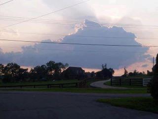
Usually when you are looking up at the clouds and seeing different shapes and things, you are really pushing your imagination. However, take a look at the picture below. It was shared by a Facebook friend and it doesn’t take much of an imagination to trace out the Bluegrass State of Kentucky in the cloud.
Pretty cool!
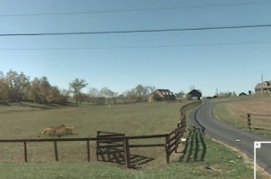
UPDATE: check out the comments below by Carl Williams. You can go to gMaps and try your hand at cyber-sleuthing. Below is the picture I frame-grabbed from google maps and they appear to match up, especially if the picture was taken in the driveway of the animal clinic (which google maps doesn’t have a vantage point of). Even the number of power lines match up.
…..Dan at aslowerpace dot net


